
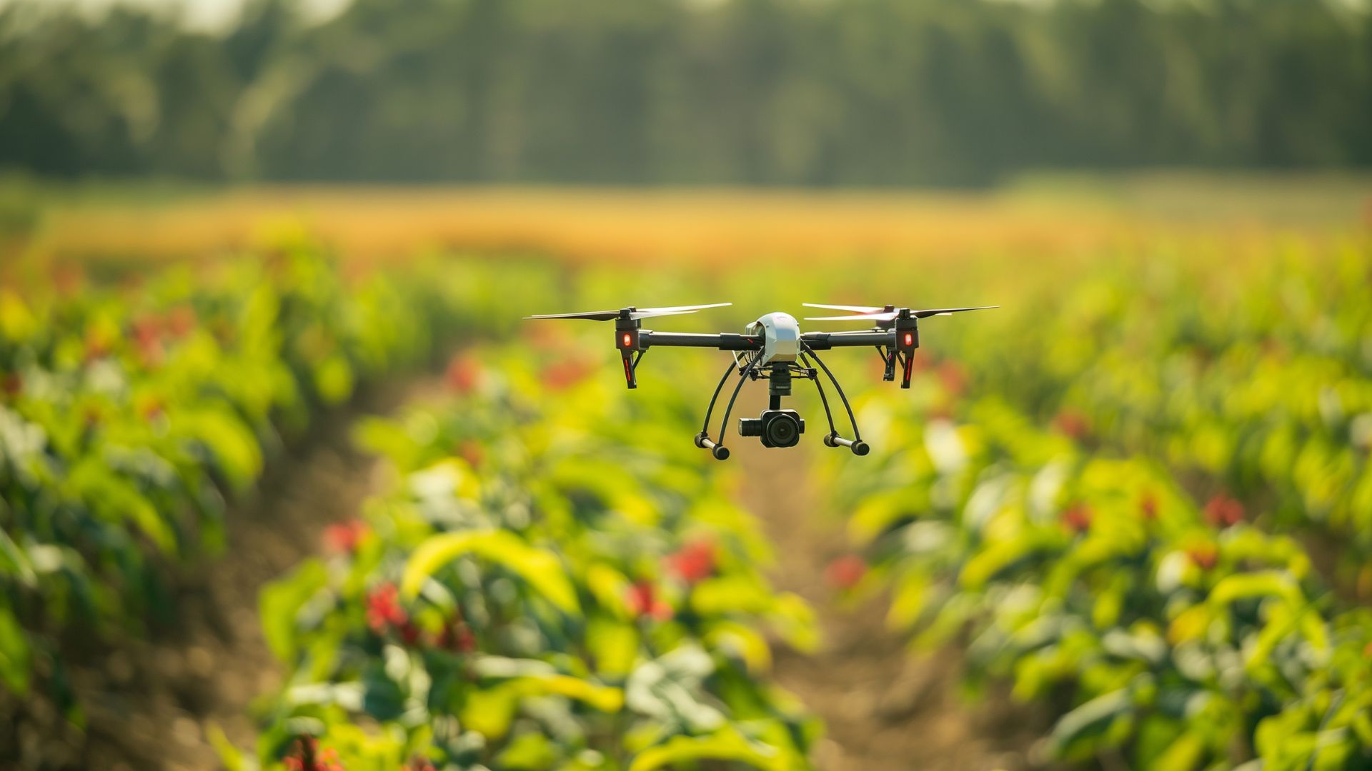
Elevate Your Yield and Business, From a Whole New Perspective.
Experience the aerial insights and data analytics for precision farming.
Get Started
Experience the aerial insights and data analytics for precision farming.
Get Started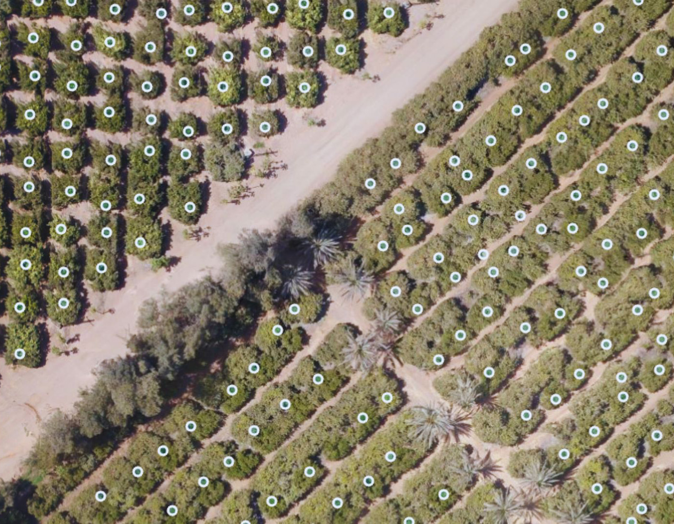
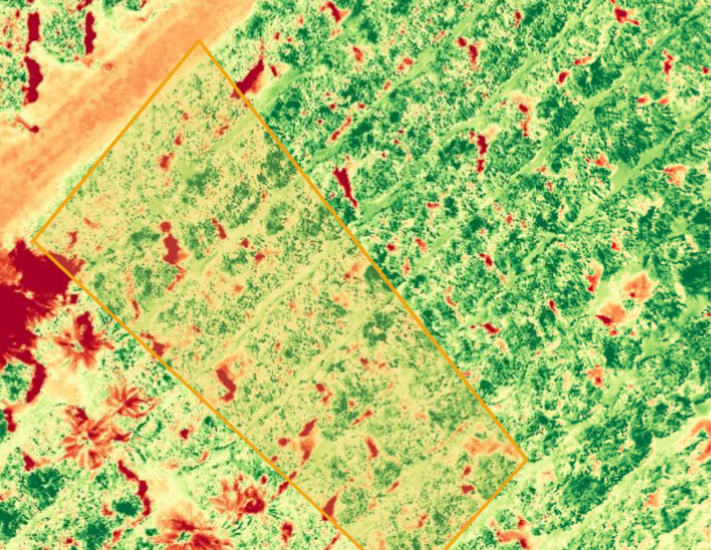
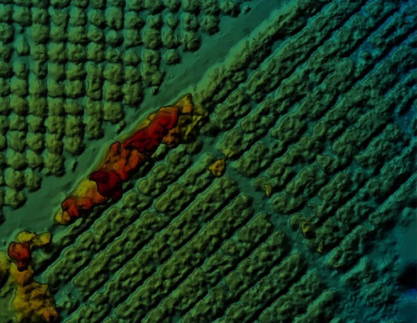
Drone and multispectral analysis can detect disease and stress even before it becomes visible from the ground level. Use aerial imagery to monitor plant health and vegetation.
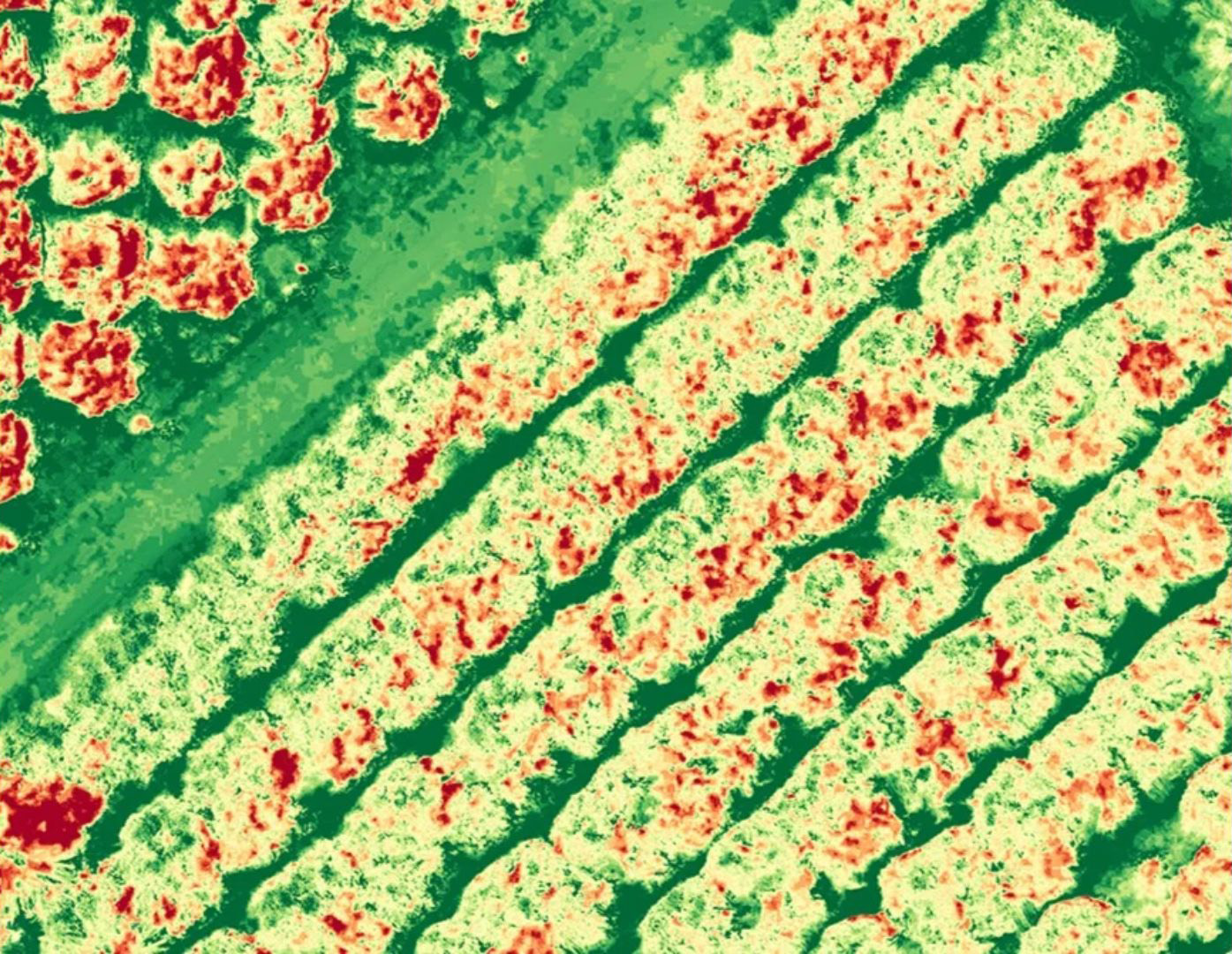
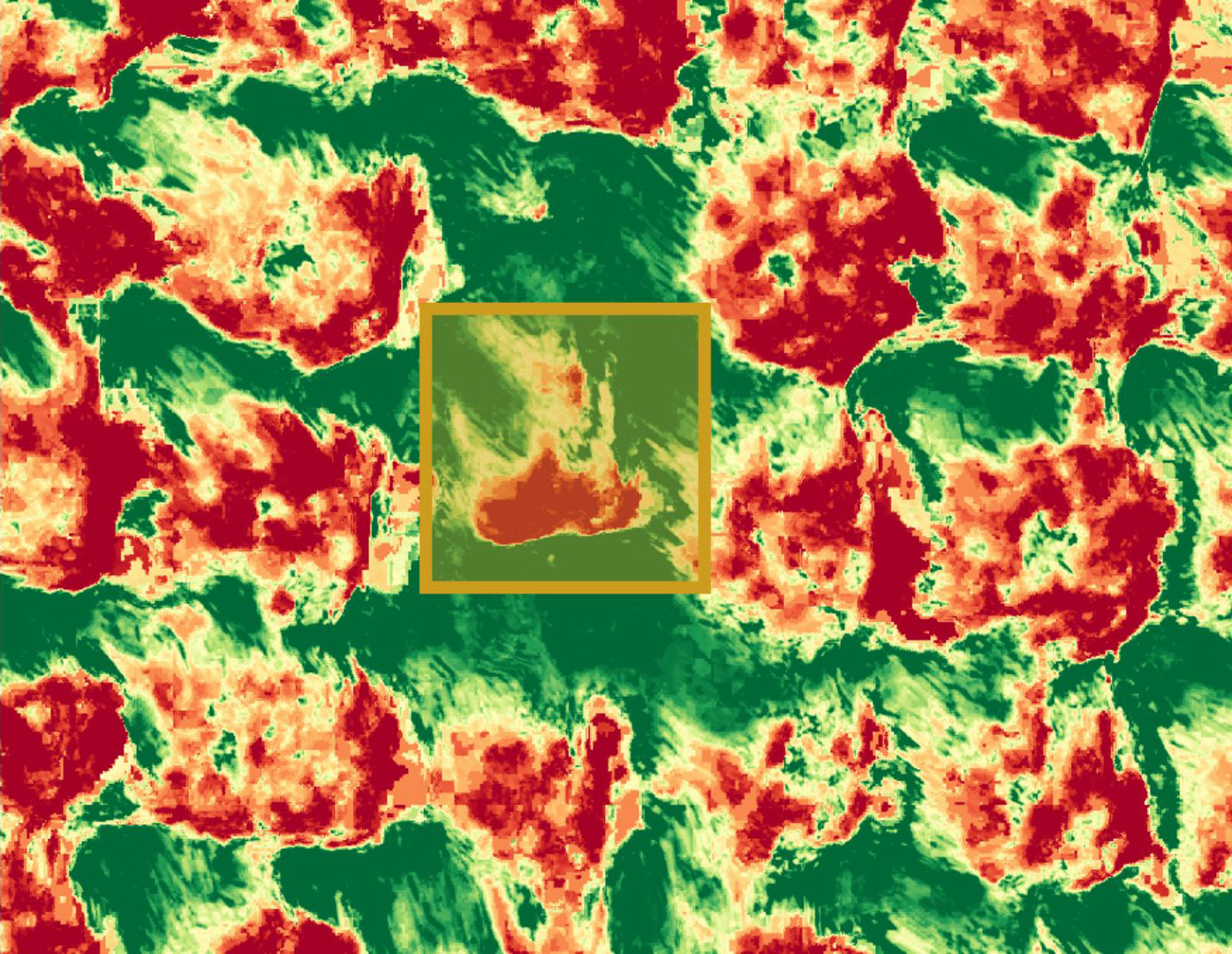
Multispectral data can also be visualised as combinations of three bands. This visualisation reveals hidden patterns, such as the presence of weeds or waterlogged soil.
Reduce cost and increase efficiency of fertilization by combining multispectral analysis with agronomic techniques.
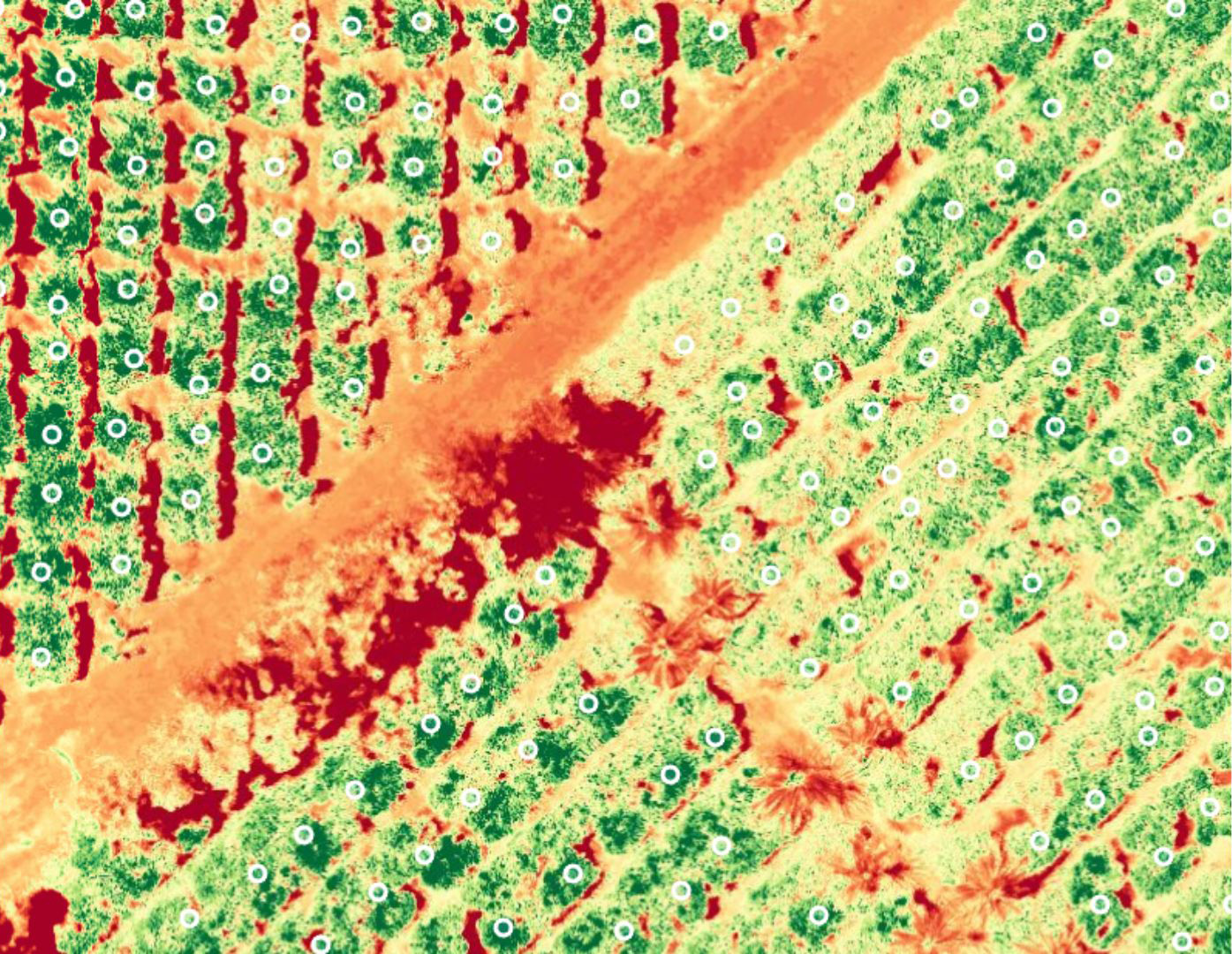
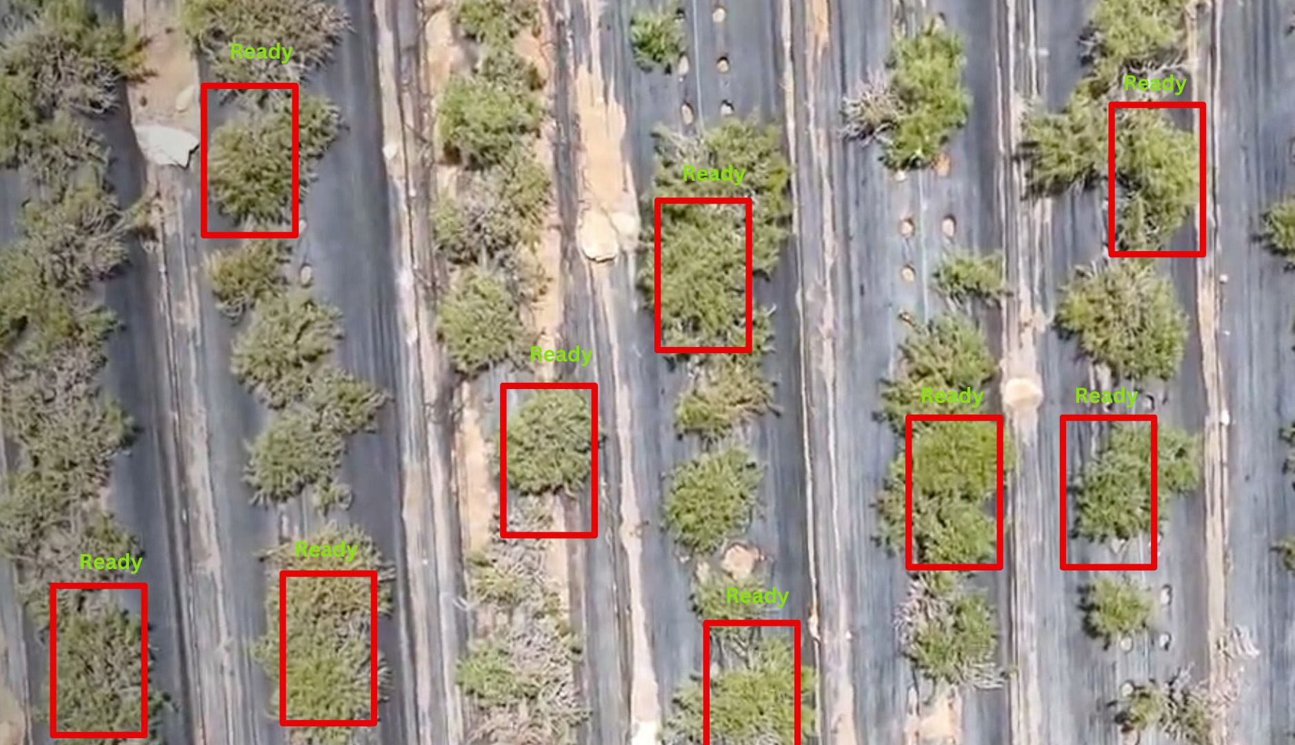
High-resolution cameras on drones, and plant-counting algorithms can accurately and efficiently provide inventory, track crops, drive replanting decisions, and help predict yield.
Thermal and infrared flights suit the planning and trouble shooting of irrigation systems, helping farmers manage water across their farm.
Preemptively identify and solve problems by gaining a deeper understanding of crop changes over time. Assess stress and crop growth and help guide the proper and efficient application of crop protection products.
Combine imagery and agronomic techniques to drive decision-making for a more efficiently planned harvest.
Enhance Yield Efficiency through Strategic Farm Management.
Measure crop health faster to maximise productivity.
Assess farmland damage in hours, not weeks.
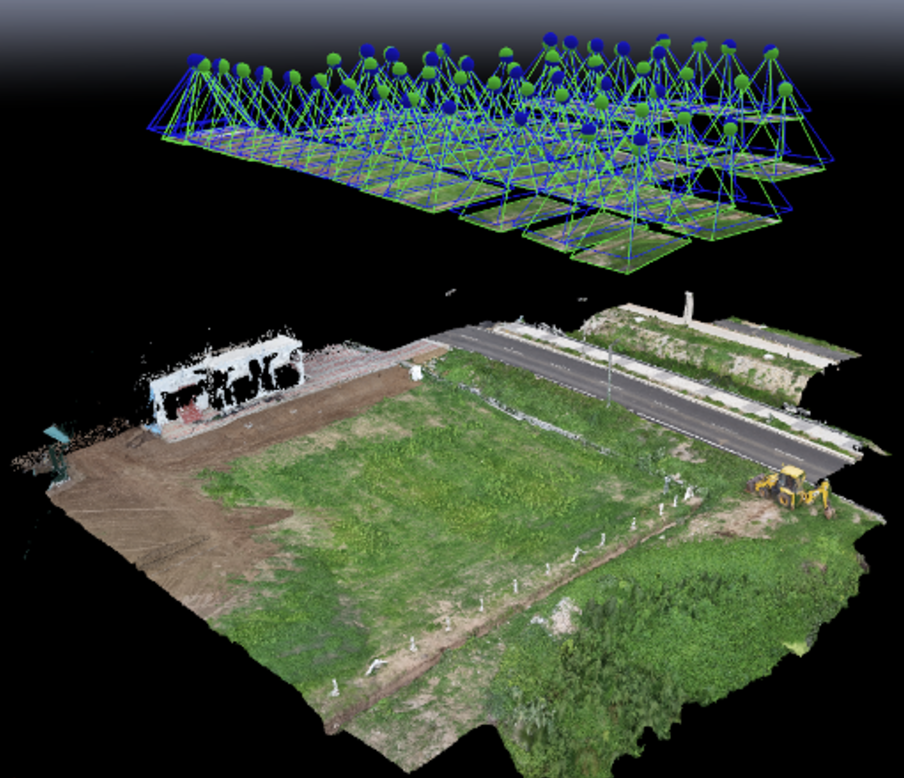
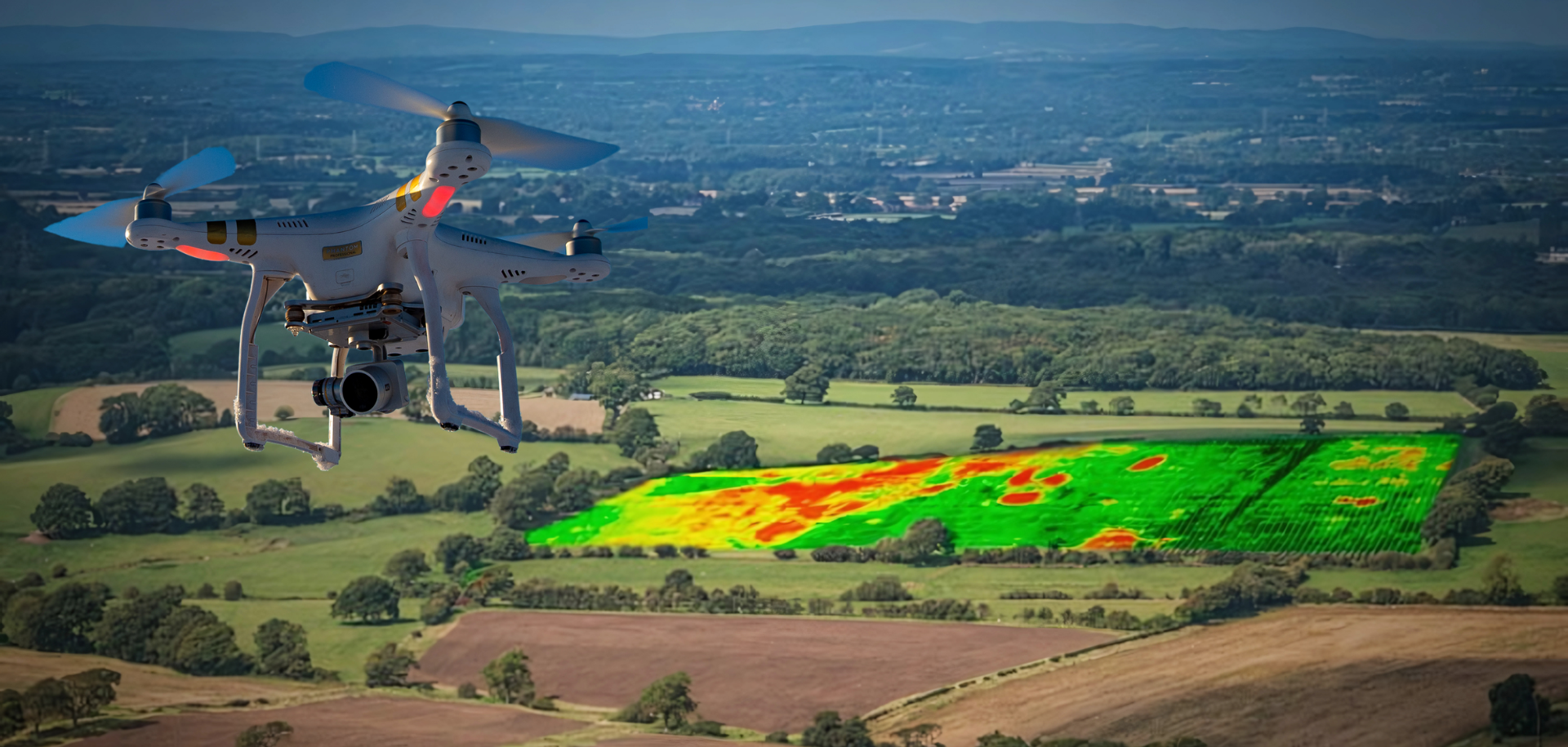
Our drones swiftly capture high-resolution RGB and multispectral imagery of your farmland, ensuring precise data for informed decisions.
Leverage our AI-powered platform to efficiently process and analyse drone data, generate accurate insights, and optimise your farming practices.
Access and share detailed maps, reports, and insights from your farm data on our user-friendly platform.
Maximise your operational efficiency without investing in hardware, software, and analytics with the Drone-as-a-Service solution.
Learn More